Drone mapping – Reiertsen Riskconsult

Many thanks to Dronekartlegging.no for the website assignment! It was also great fun to gain more in-depth knowledge about the possibilities offered by drones.

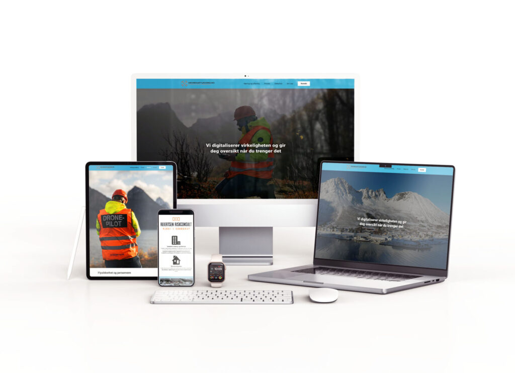
Dronekartlegging.no provides professional drone services for data capture of properties, buildings and facilities. 3D models for inspection of buildings and infrastructure with professional inspection tools.
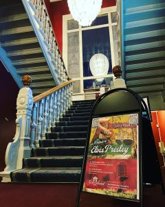
Are you curious about what's possible for your business?

Get in touch for chat about opportunities, tips and advice. No obligations.

Jobs
Articles

What are HDR images?

HDR stands for High Dynamic Range, which means that there is a much greater range of colors than in a regular jpg image. In other words, you get more opportunities to find details in light and dark areas.

Why don’t newspaper ads work?

Many companies advertise in newspapers in vain, only to find out that it doesn’t work. Others, on the other hand, seem to have great success, what could be the reason for this?